Welcome to Remote Sensing Technology: Applications and Analysis. In this course, you'll learn:
Introduction to Remote Sensing:
Definition and principles of remote sensing
Historical overview and evolution
Importance and relevance in contemporary scientific and industrial applications
Electromagnetic Spectrum and Remote Sensing:
Understanding the electromagnetic spectrum
Interaction of electromagnetic waves with Earth's surface
Spectral bands and their significance in remote sensing
Platforms and Sensors:
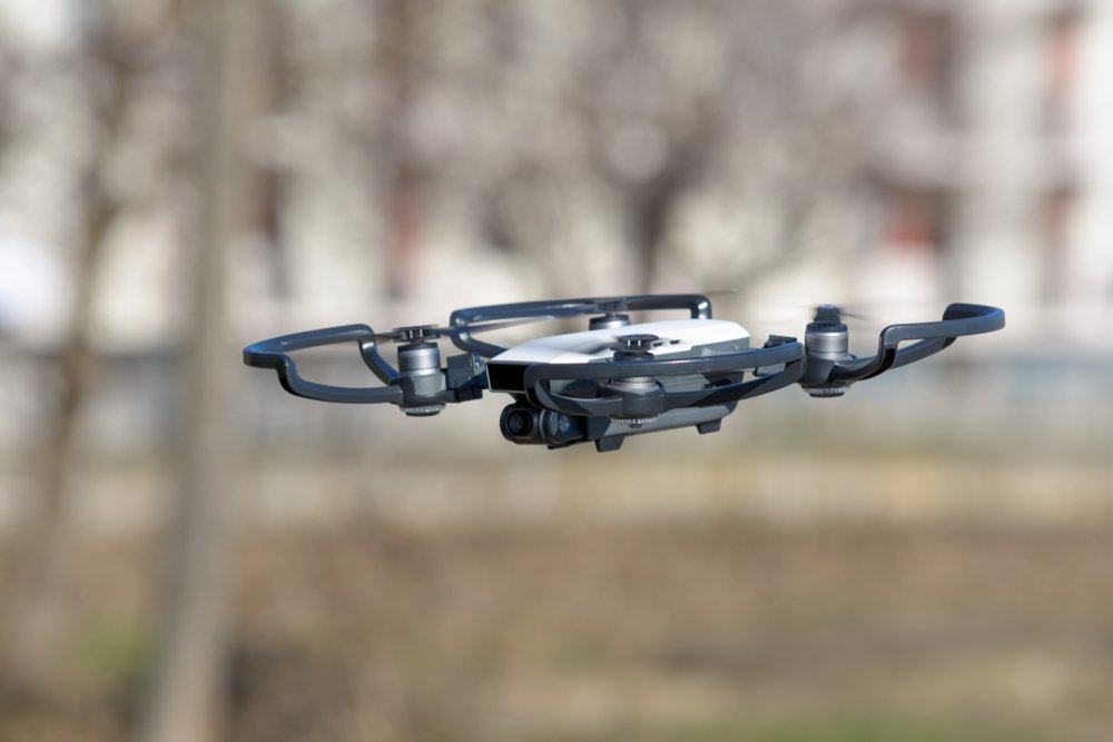
Various platforms used in remote sensing (satellites, aircraft, drones)
Types of sensors (passive and active)
Selection criteria based on application requirements
Image Interpretation:
Basics of image interpretation
Identifying features, patterns, and anomalies
Integration of ancillary data for accurate interpretation
Remote Sensing Data Analysis:
Pre-processing techniques for satellite imagery
Image enhancement and classification methods
Quantitative analysis using GIS tools
Applications of Remote Sensing in the UK:
Land cover and land use mapping
Environmental monitoring and conservation
Urban planning and infrastructure development
Agriculture and forestry applications
Disaster management and risk assessment
Future Trends in Remote Sensing:
Emerging technologies and sensors
Integration with artificial intelligence and machine learning
Advancements in spatial and temporal resolution
Global collaboration and data sharing initiatives
Frequently Asked Questions
Who is this course suitable for?
This course is suitable for both current practitioners seeking to enhance their skills as well as individuals aspiring to enter any related profession. It is a valuable opportunity to advance your expertise and strengthen your CV since you will receive a recognised qualification upon completion.
What’s the entry requirement?
This course is open to learners from any academic background who are aged 16 and above. While there are no strict prerequisites, having a good grasp of the English language, numeracy, and ICT will be beneficial for a more seamless learning experience.
Will I get a certificate after completing the course?
Certainly! Upon successful completion of this course, you will receive a CPD Accredited Certificate of Achievement.
Course Content
Module 1: Introduction to Remote Sensing
Module 2: Electromagnetic Spectrum and Remote Sensing
Module 3: Platforms and Sensors
Module 4: Image Interpretation
Module 5: Remote Sensing Data Analysis
Module 6: Applications of Remote Sensing in the UK